
Queens Neighbors by Block Source
Queens neighbors are best understood through block records, not a people list. A map can identify tax lots next to an address. A parcel card can provide a BBL and show property context. A recorded document can tie a party to a particular instrument, while a directory or historic map can explain an earlier block. None of those sources proves every person who lives nearby. Keep the source purpose visible as you move from a selected address to the lots around it.
| Source | What It Shows About a Block | Access |
|---|---|---|
| ZoLa / MapPLUTO | Lot outlines, adjacent lots, address ranges, zoning and planning attributes | Public map, one lot at a time |
| PIP / Digital Tax Map | BBL, parcel card, map and history links | Public portal |
| GOAT / GeoSupport | Address variants, side of street, ZIP, precinct, boards, census geography | Public address and geography lookup |
| ACRIS legal and master data | Recorded-document relationship to BBL and parties | Public index within scope and privacy limits |
| Community-board civic pages | Public civic referral and some meeting details | Board-specific, not exhaustive |
Owners and occupants are not interchangeable. ACRIS can show a recorded party and PIP can identify a tax lot, but a party mailing address may not be the property situs. GIS adjacency describes parcels, not household membership. That boundary makes a Queens neighbors search useful for a block question without turning it into a roster of people.
Queens Neighbors Need Spatial Layers
“Neighbor” can mean three different spatial layers. The tax-lot edge is the parcel immediately beside a selected lot. The block face is the run of addresses on one side of a street and can require ranges, old maps, and street-side conventions. The community-board area is a larger administrative and civic-referral geography. A postal ZIP may overlap all three but does not define any one of them.
GOAT can return a BBL, side of street, ZIP, census tract and block, precinct, community district, and council district. ZoLa can show a tax lot, PLUTO attributes, and zoning layers. Use the label that the source provides. A community board, precinct, tax lot, and ZIP each answer a different location question, so a Queens neighbors result should record which layer was selected instead of treating them as synonyms.
Note: A map layer can establish where a parcel sits, while a civic or postal layer helps identify the appropriate public resource.
Queens Neighbors Map Keys
Start an adjacent-parcel question by preserving the address exactly as known. Queens house numbers may contain hyphens, and a parcel can carry an address range, unit, old street name, or a separate mailing address. Use GOAT and NYC Planning resources to normalize the address, then use the Property Information Portal to verify Borough=Queens, block, lot, and any condo, co-op, air-lot, or subterranean-lot designation.
In ZoLa, identify the tax lot and inspect the PLUTO and Digital Tax Map layers. MapPLUTO notes that address ranges occur and that Queens uses hyphenated house numbers. For a reproducible block note, keep the address range, BBL, adjacent lot IDs, map layer, map date, and source URL. Do not transfer visible party names into a block summary simply because a map or deed page displays them.
Map a Queens Block by Parcel
Map a Queens block as a process flow: address → GOAT or PIP → BBL → ZoLa tax lot → adjacent lot IDs → ACRIS document context. Each arrow changes the question. The first steps standardize an address and anchor it to a lot. ZoLa reveals the surrounding geometry. ACRIS then provides a document relationship to a BBL when that relation is relevant. It does not turn every adjoining lot into a list of neighbors.
- Locate the address in GOAT or PIP and record the Queens BBL, address range, and any unit or parcel qualification.
- Open ZoLa, select the Tax Lot result, and note the lot outline and the identifiers of lots sharing an edge or the chosen block face.
- Use PIP history or the Digital Tax Map to check lot changes. Use ACRIS only to verify a particular recorded document by BBL, party role, date, and type.
- For a whole named street and its wider record chain, use the Queens street directory workflow instead of expanding the immediate block indefinitely.
Save the layer name and date beside the selected geometry. A current lot boundary, a historic map, and a document date can each be correct while describing different moments in the block’s history.
Queens Neighbors Civic Referrals
Community organizations are a referral layer, not a household directory. Queens has 14 community boards, and their pages publish boundaries, meetings, district offices, and local resources. Find the board from the address geography, then use that board’s civic or resources page to identify a relevant public contact. The source can establish a board’s service area and meeting information, but it does not establish membership, residence, or endorsement.
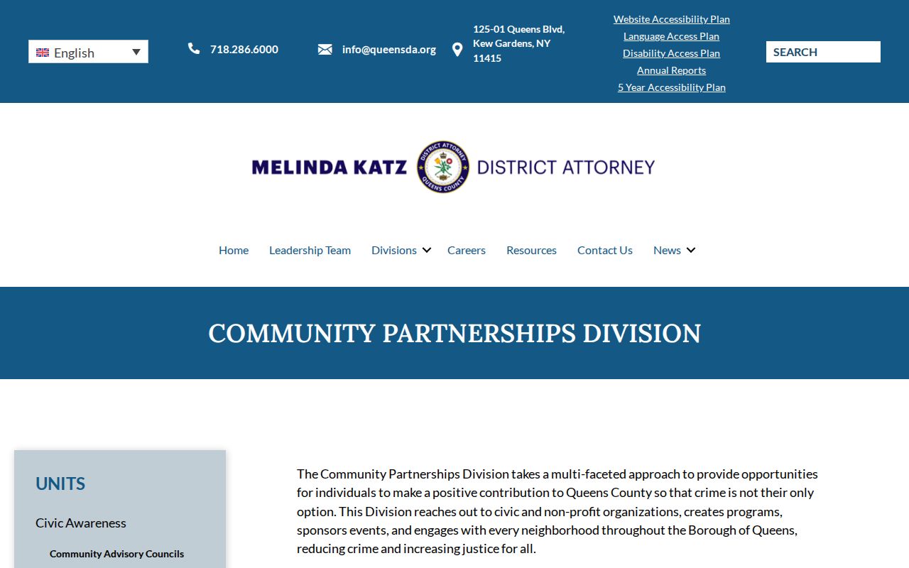
The Queens District Attorney Community Partnerships page is another public engagement route. It describes partnerships with civic and nonprofit groups, advisory councils, and outreach across community boards and precincts. The Queens Community Board 13 Civic List is a concrete board-level example with civic organizations and some stated meeting details. Treat both as dated referrals, not a boroughwide roster and not proof that an organization is active today.
The public Community Partnerships page shows the sort of civic umbrella that can help route a block question to an appropriate contact.
Check any organization’s own current notice before relying on a meeting time or contact method, because a published community-board entry can be older than the organization’s latest update.
Queens Neighbors Block History
Maps and archives can explain a block without collecting sensitive person-level material. Queens Public Library finding aids cover final maps, Sanborn and Belcher Hyde maps, cemetery maps, and census enumeration maps. A final map may show an old or new street name, grade, width, length, or lot context. A Sanborn sheet may show a building footprint, materials, use, address, and map year. Cite the volume, sheet, date, and repository for each item.
Queens Historical Society, Queens Public Library Archives, and Queens Memory have different access models and selected collections. A directory entry, oral history, final map, and parcel card can together explain a neighborhood change, but none creates a complete list of people on the block. This human-use approach keeps the focus on local history and documented geography rather than an unnecessary personal dossier.
For a historic block note, pair the current tax lot with a map volume, year, and sheet, then add a dated directory page only when it directly addresses the question. Record the source’s original neighborhood or town label. A pre-1898 item may use Long Island City, Flushing, Jamaica, or another former jurisdiction rather than the later borough name. The records still relate to present-day Queens, but the original label is essential for reproducing the search.
Queens Neighbors Voter and Deed Limits
NYC BOE’s Am I Registered? tool is an exact five-field confirmation form. It requires first name, last name, birth date, borough, and ZIP Code. It cannot be used as a broad block search. Election Law §5-602 describes public registration lists by election district, which may be arranged by street and number or alphabetically, but the practical inspection or copy route should be confirmed with the Queens Board of Elections. The statutory and office process controls which fields can be released.
ACRIS has a different boundary. Its legal, master, and party records show a recorded-document trail, including BBL, document date, party type, and related fields. They do not establish who currently lives at a property. An adjacent lot or a visible party name is not a reason to publish a block-level identity claim. Use the minimum record detail needed for the parcel or history question.
| Official source | Strongest block use | Not a valid inference |
|---|---|---|
| ZoLa / MapPLUTO | Lot geometry and adjacent identifiers | All current households on the block |
| PIP / ACRIS | Parcel key and recorded document context | Occupancy from party or mailing address |
| BOE | Exact registration confirmation or lawful inspection route | Continuous residence or voting behavior |
Limits on Queens Neighbor Lookups
Public records have purpose-specific access rules. Courts can omit sealed, Family Court, adoption, youthful-offender, and other restricted material. Voter information excludes specified personal identifiers. Vital records have relationship and identity rules. New York’s Address Confidentiality Program protects the actual address of eligible participants through a substitute address and mail-forwarding service. Do not try to reverse that address or assemble it from partial records.
Commercial neighbor-search services may combine records from sources with different dates and limits. Official sources identify their custodian, date, and record type. Commercial tools can be convenient but may not show the source boundary, correction path, or full restriction context. For a Queens block question, the official map and parcel route is more transparent, while a board or DA page is a civic referral only.
Lawful use. Queens neighbor research can support block history, civic contact, and personal safety awareness. Do not use public records to watch, harass, intimidate, or expose any person.