
Search Queens Streets by Address
Use the Queens address-record chain as a sequence of address-keyed sources. First establish that the address is deliverable and written in the form the city recognizes. Then turn that address into a borough, block, and lot, often shortened to BBL, before following the parcel into the tax map and recorded documents. This avoids a common error: treating a familiar street name or an ACRIS mailing address as proof that it is the same parcel.
Ownership, a recorded party, a building record, and a voter-registration status answer different questions. The sequence below keeps those evidence types separate. It can also expose a range, unit, old street label, or split lot that needs a second check before a result is carried forward.
- Validate the full address through the USPS ZIP Lookup, retaining its standardized form and any unit.
- Use NYC Planning’s GOAT and GeoSupport resources to obtain the BBL, BIN, ZIP, and civic-geography fields.
- Confirm the Queens parcel in the Property Information Portal, including the address and lot identifiers.
- Inspect the lot in ZoLa, where tax-lot geometry, PLUTO attributes, and the digital tax map add map context.
- Search the confirmed BBL in ACRIS, then read the document image and its cross-reference information.
- For an election-district question, use the Board of Elections streetfinder or ask about the public inspection route, rather than treating the online checker as a street list.
- When the address is historic, compare a directory entry or final map with the modern parcel rather than assuming the printed number still has the same form.
Note: Record the search date and the exact address form, because a later map, unit, or correction can change how a Queens result is interpreted.
Queens Street Directory Address Forms
Hyphenated house numbers are ordinary in Queens, and MapPLUTO metadata also recognizes address ranges. Preserve the source spelling first, then test a normalized version with the proper street suffix, directional wording, range, and unit. An intersection needs both street names and the borough. A literal search that omits a hyphen, apartment, or older spelling can miss the same location under another authorized form.
The address should travel through the search chain as evidence, not as a loose phrase. GOAT can return a BBL and BIN, while PIP and ZoLa connect that key to a tax lot. A directory number may not be a tax-lot address, and an older document may not show a unit. Keep the original version beside each normalized query so the next researcher can reproduce the result.
- Parcel
- A defined piece of land or tax lot used in city property systems. It can have an address range and is not a list of people.
- Situs address
- The physical property address. It is different from a mailing address printed for a party on a recorded document.
- BBL
- The borough-block-lot identifier that links a Queens tax lot to PIP, ZoLa, and many ACRIS searches.
- Criss-cross directory
- A historical reverse directory arranged by address, useful for a dated printed listing rather than current presence.
Queens Street Directory Parcel Fields
The Property Information Portal is the strongest first city record after address normalization. Its routes are broader than a simple address field. A successful parcel card can expose the BBL, an ACRIS link, map and history tabs, property information, land details, sales, and recorded-document cards. It provides parcel context, but it is not a certified ownership opinion and does not establish who is physically present.
| PIP search route | Use in a Queens street search | Check before continuing |
|---|---|---|
| Address, intersection, or common place | Find the city-recognized location | House-number punctuation, street suffix, and unit |
| BBL | Open the identified tax lot directly | Queens borough, block, and lot |
| Borough and block | Narrow a parcel search where the lot is known | Whether multiple lots or units remain |
| Condo, co-op, or REUC | Reach property types with their own search paths | Associated lots and building details |
| Air lot or subterranean lot | Find a rights-related lot not obvious from the street line | Whether the legal record is part of the same chain |
A captured Queens PIP parcel card shows the type of city parcel view used for this address step.
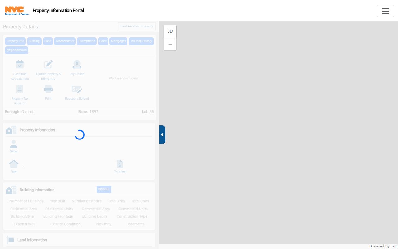
Use the card to verify the location key before opening linked records. The view is a layout example, not evidence about a current household.
Note: A BBL identifies a tax lot and related records; it does not identify an occupant or prove that a name belongs at the address.
Queens Street Keys Before ACRIS
GOAT and GeoSupport supply the identifier ladder that makes a street search more reliable: address, ZIP, BIN and BBL, then tax lot and map, then CRFN or document ID. They can also return civic geography such as census, precinct, community-board, and council-district information. Those labels are useful for locating the right office or map layer, but they are not interchangeable and none is evidence of occupancy.
Queens identifier tip. Obtain the BBL or BIN in GOAT/GeoSupport before opening ACRIS, then join ACRIS legal, master, and party rows by their documented keys instead of guessing from a surname.
The ACRIS legal row is the street-and-lot locator. Its master row supplies the document identifier, type, dates, amount field, and recording data. Its party row gives the recorded party role and mailing information. That structure is why a citywide name hit should not be treated as a street match until the legal record and document image agree.
ACRIS Along a Queens Street
ACRIS is the Queens recorded-property route for documents from 1966 to the present. It supports party name, parcel identifier, document type, document ID or CRFN, transaction, reel or page, UCC, and Federal Lien searches. For a street-by-street question, begin with the confirmed BBL or parcel key, select the relevant document type, and compare the legal, master, and party information before drawing a connection.
The displayed result can include the borough, block, lot, document type, document and recorded dates, page count, parties, corrected remarks, and amount field. A deed is an index trail, not a shortcut to a present household. Read the image and note whether the address is the property, a unit, or a mailing address. Documents can also involve mortgages, assignments, satisfactions, corrections, easements, air rights, or a partial lot.
The ACRIS property-search screen provides the borough and parcel route used after the parcel has been confirmed.
ACRIS search modes help narrow the record trail, but the document image and matching BBL remain the necessary checks for a street result.
For an earlier instrument, the online trail stops at 1966. The City Register land-record guidance directs pre-1966 research to the Land Records Research Library in the Queens City Register office at 144-06 94th Avenue in Jamaica, where a party name, BBL, date range, document type, or reel/page can guide the request.
Queens Street Records by Source
A Queens by-address search draws from several systems because each keeps a different kind of address record. PIP and ZoLa establish the property key and map setting. ACRIS traces recorded instruments. DOB adds a building-regulation timeline. BOE material has separate exact-check and public-inspection routes. Historic maps and printed directories explain a prior address form without becoming a current-person list.
| Queens record route | What the address can establish | Access path and limit |
|---|---|---|
| PIP parcel card | BBL, parcel details, associated links, and history tabs | Public portal; parcel context, not a certified ownership finding |
| ZoLa and Digital Tax Map | Tax-lot geometry, zoning, PLUTO data, and map setting | Public map; lot geometry is not a household list |
| ACRIS legal, master, and party data | Recorded-document connection to BBL, parties, and dates | Public index and images from 1966; party mailing-address caveat |
| DOB building history | Certificates of occupancy, applications, complaints, and violations | BIS and DOB NOW divide the records; building history is not a deed |
| BOE street and district material | Election-district geography and statutory public-list route | Exact online confirmation differs from inspection or copy procedures |
| Final and Sanborn maps | Old/new street labels, footprints, use, or map-year context | Archive, library, or digitized-map access; not a current legal boundary |
The useful connection is the key, not the repetition of a name. When a parcel, document, and map agree, record the source and date for each one. When they conflict, retain that conflict rather than choosing the result that looks most convenient.
Queens Street Directory BOE Route
New York’s election records have a street-based public dimension, but the online NYC Board of Elections registration check is not a general street-by-street directory. It requires first name, last name, birth date, borough, and ZIP, and returns registration status or “Record Not Found.” A match requires those exact record fields, and a mismatch can reflect a move, spelling, date, ZIP, inactive status, or maintenance issue.
For an address question, the BOE streetfinder can connect numbered or named street rows and even or odd house-number ranges to election and assembly districts. Election Law §5-602 describes public registration lists by election district, arranged by street and number or alphabetically, with inactive and new indicators. Election Law §3-220 also protects driver-license, non-driver-ID, Social Security, and facsimile information. Confirm the Queens BOE’s current inspection or copy procedure before requesting a list.
Note: A registration response confirms only the agency’s record status under its required fields, not continuous residence, household membership, or participation.
Queens Street Building History
City building records add a different address trail. The Department of Buildings history route can lead to certificates of occupancy, applications and work records, complaints, and violations through BIS and DOB NOW. Search with the address or BIN returned by the address-geography step, then identify the record type before interpreting it.
A certificate of occupancy describes approved use. A complaint or violation records a regulatory event. Neither is a deed, and neither identifies a complete set of people at an address. Their value in a Queens street search is chronological: they can help explain a changed building, an address range, or why a lot record and an older directory describe the location differently.
Old Queens Street Names Need Maps
Queens address research crosses several jurisdiction and mapping changes. New York City consolidation took effect in 1898, so an older item may be filed under Long Island City, Flushing, Jamaica, a town, or a village rather than under today’s Queens label. Final maps, historic directories, and Sanborn material should retain the printed historical place and street label alongside the modern search form.
Queens library material identifies Jamaica Avenue and Fulton Street as a local old/new-name prompt. It is not a rule to apply to every address. Check the actual final-map sheet before calling it a conversion, then preserve the map’s date, sheet, and wording. The Queens Public Library map collection guide identifies final maps, Sanborn, Belcher Hyde, cemetery, and census resources that can test a street change.
Note: Historic maps can explain a former street label or footprint, but they do not replace a current tax map, recorded instrument, or delivery-address check.
Limits of a Queens Street Directory
Street and parcel records cannot prove every person connected with a property. A recorded party can have a mailing address elsewhere. A BBL identifies a lot, not an occupant. A BOE exact-field result has limited confirmation value, and its ZIP is a record field rather than proof of delivery geography. An absent online result can also mean a spelling variation, a pre-1966 document, an undigitized record, a restricted record, or the wrong address form.
Use the narrowest public record that answers a lawful question, such as a parcel key, a recorded instrument, a map sheet, or an office contact. For archival or pre-1966 material, bring the historic and current address forms, likely date range, BBL, and relevant document key to the responsible library or City Register route. Do not convert public parcel or street information into a sensitive person-by-person index.
Lawful use. Queens address records are for specific, lawful research. Do not use a street search to stalk, harass, intimidate, or harm any person, and stop when a record is restricted or not needed.